
UPDATE: The Department of Fire and Emergency Services warning has been downgraded to a bushfire watch and act for residents in parts of Forrestdale.
A bushfire advice warning also remains in place for residents in parts of Forrestdale, Harrisdale and Piara Waters.
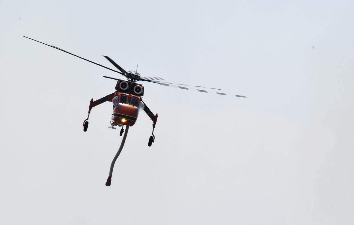
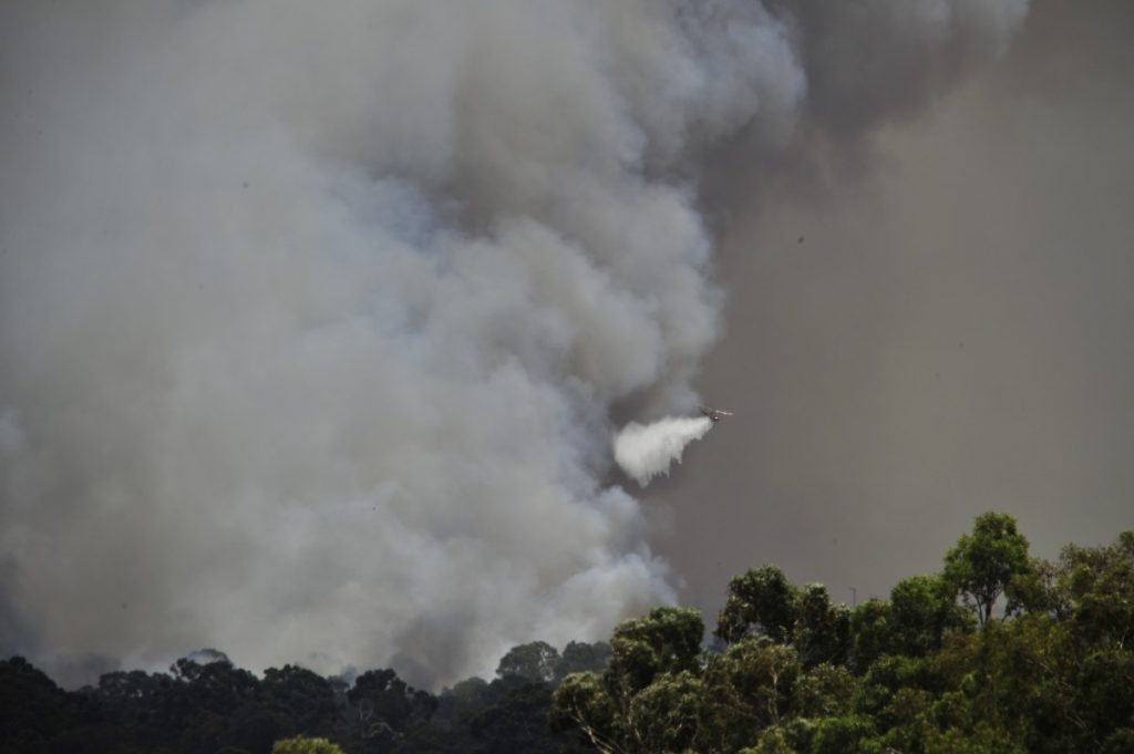
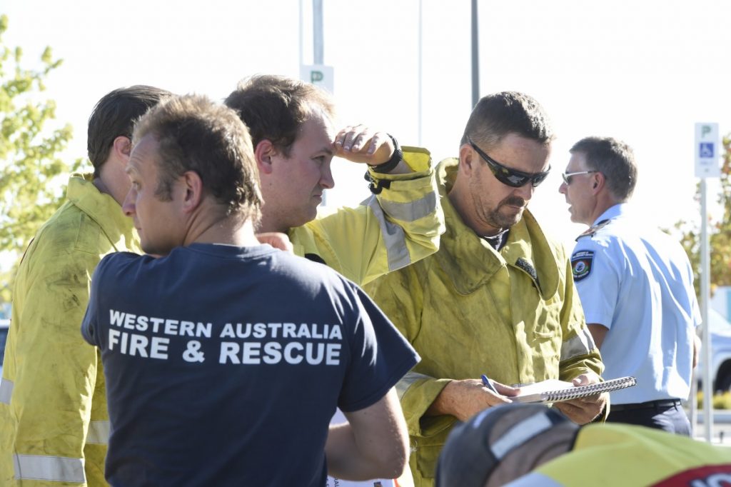
Emergency services fought well into the night to contain a massive blaze in Forrestdale, which was burning out of control yesterday.
The fire, which has so far torn through more than 155 hectares, was first reported at 12.09pm on Thursday, February 7 near the intersection of Forrest Road and Tonkin Highway.
Firefighters managed to save a number of homes in the area, however one shed and a few cars were destroyed.
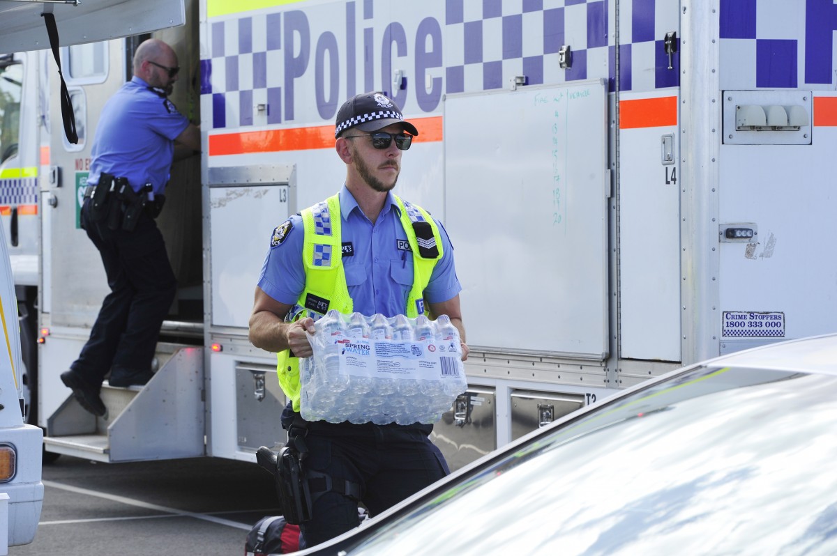
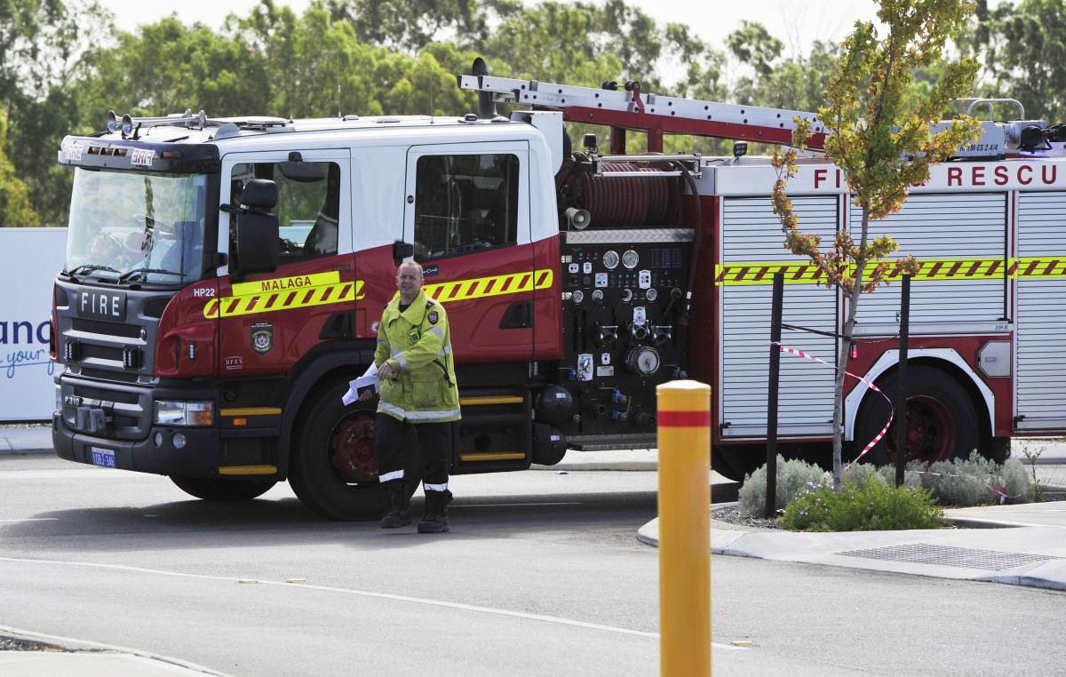
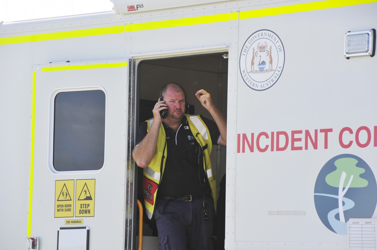
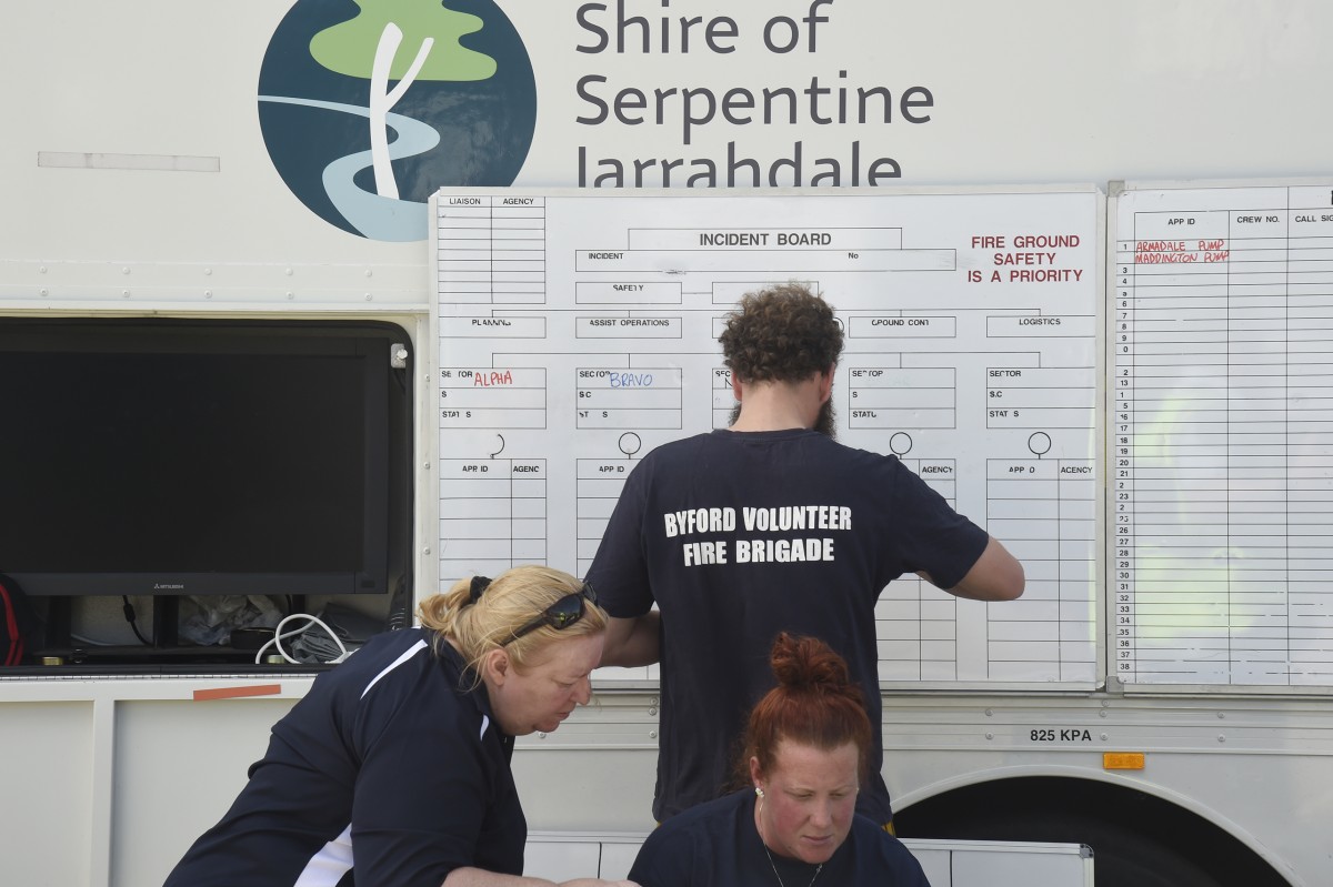
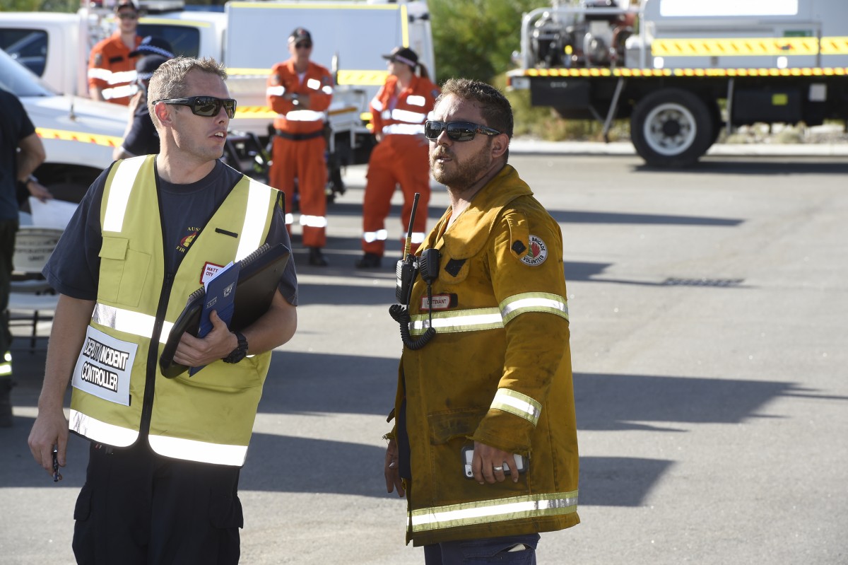
A total of 120 career and volunteer firefighters are still at the fire ground, while St John Ambulance, the Salvation Army and the SES are also assisting.
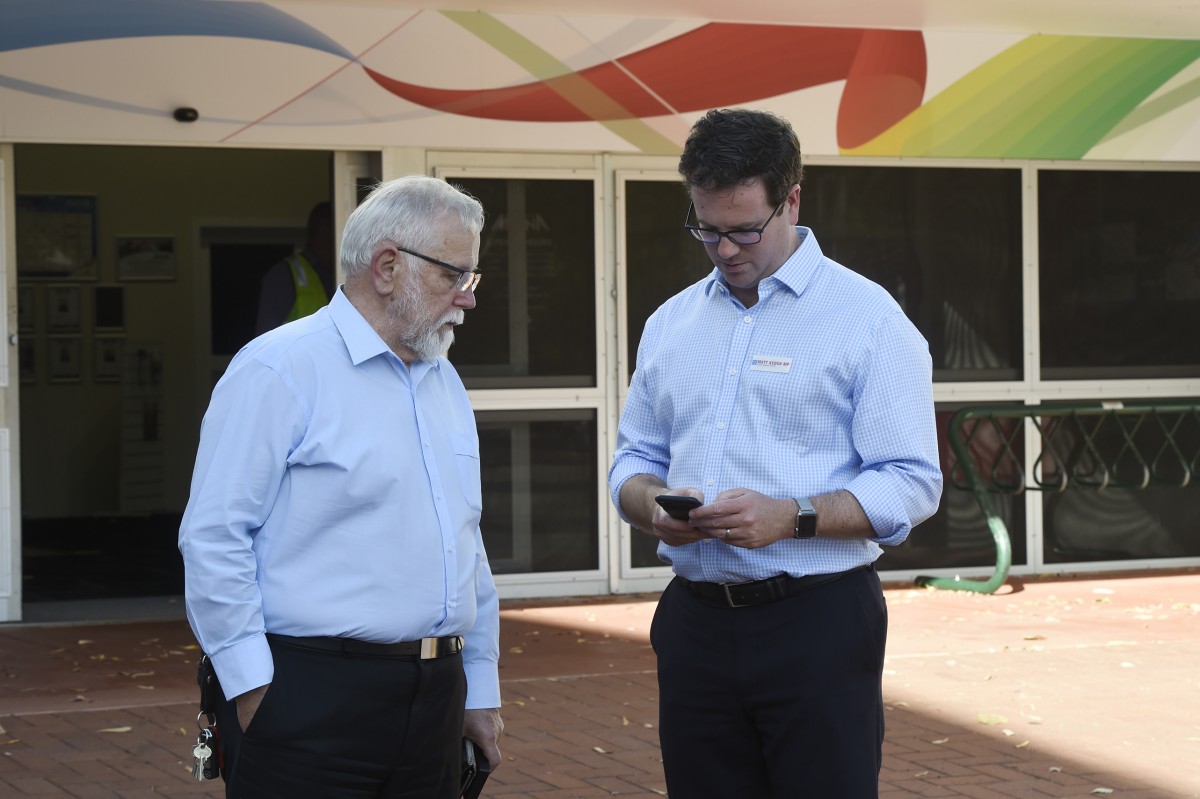
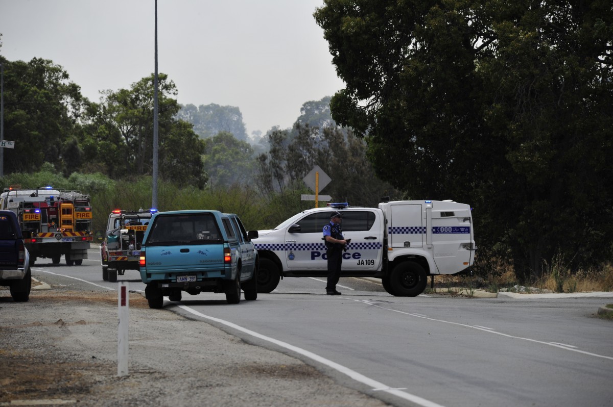
WA Police, Main Roads WA, Water Corporation and the City of Armadale are also helping with the response efforts.
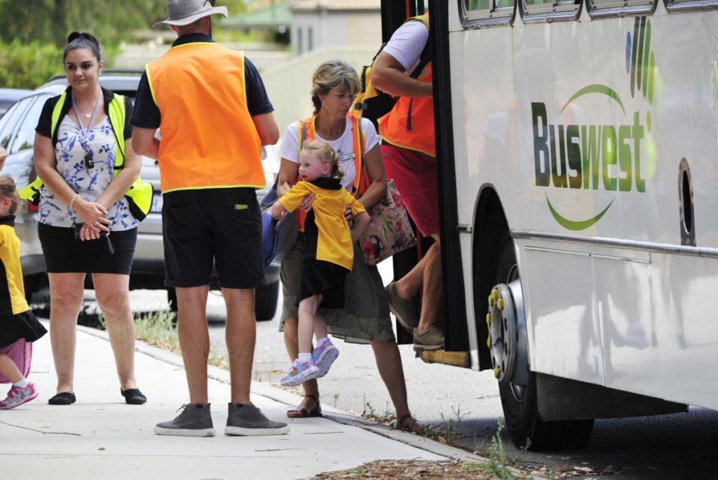
Students and staff at Forrestdale Primary were evacuated yesterday as the fire was deemed out of control and unpredictable.
All students were taken to nearby Neerigen Brook Primary, including Forrestdale Primary student Harmony Escott who was participating in her first day of full time school.
Forrestdale Primary, St John Bosco College, Harrisdale Primary and Harrisdale Senior High remain closed today, but will be open on Monday, February 11.
Road closures are still in place, including Broome Street at Forrest Road, Armadale Road, between Anstey Road and Tonkin Highway and Anstey Road between Armadale Road and Ranford Road.

The following roads have been re-opened:
- Armadale Road both directions between Tonkin Highway and Ranford Road – speed reduced to 60 kilometres per hour.
- Tonkin Highway both directions between Ranford Road and Rowley Road – speed reduced to 80 kilometres per hour.
- Forrest Road between Tonkin Highway and Eleventh Road.
- Twelfth Road between Armadale Road and Forrest Road.
Motorists are asked to avoid the area, reduce speed and drive carefully due to smoke.
People are asked to report any suspicious behaviour to Crime Stoppers on 1800 333 000 and contact 000 about any new fire activity.
BUSHFIRE WATCH AND ACT – for people bounded by Ranford Road, Skeet Road, Keane Road, Anstey Road, Weld Street, Forrestdale Lake, Stirling Road and Tonkin Highway in Forrestdale.
WHAT TO DO:
- If you are not prepared or you plan to leave, leave now if the way is clear.
- If you are well prepared and plan to actively defend your home, make final preparations now.
- If you are not at home, do not try to return as conditions in the area could be very dangerous.
- Close all doors and windows and turn off evaporative air conditioners, but keep water running through the system if possible.
BUSHFIRE ADVICE – for people bounded by Tonkin Highway, Stirling Road, Forrestdale Lake, Weld Street, Anstey Road, Keane Road, Skeet Road, Ranford Road, Warton Road and Rowley Road in parts of Forrestdale, Harrisdale and Piara Waters.
WHAT TO DO:
- Stay alert and monitor your surroundings.
- Watch for signs of a bushfire, especially smoke and flames.
- Close all doors and windows, and turn off evaporative air conditioners but keep water running through the system if possible.
- Read through your bushfire survival plan.
- If you do not have a plan decide what you will do if the situation gets worse.
Photographs – Richard Polden.