
Another slice of the Anstey Keane Development has been released for public comment.
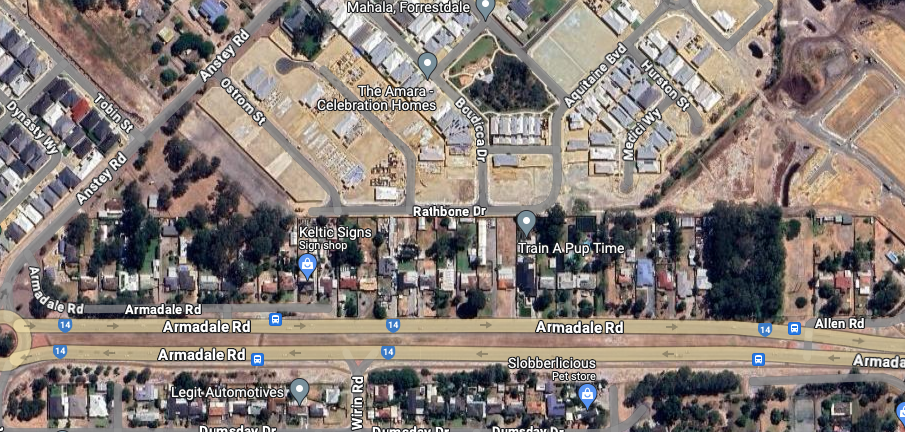
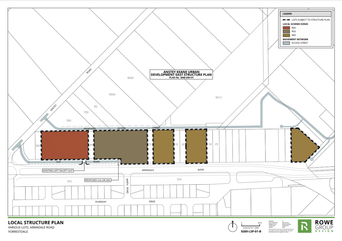
The structure plan proposal seeks to subdivide a 4.45-hectare site which runs along Armadale Rd between Anstey and Allen Rds.
The parcel of already existing properties will be divided into 212 lots with densities between R40 (min 180m2), R50 (min 160m2) and R60 (min 120m2).
The proposal states the new development “will assist in achieving and developing affordable housing options for the city’s growing population” which is anticipated to encompass 60,000 new residents over the next 29 years.
A 2.4-metre-high noise wall is proposed to run along the length of Armadale Rd between Anstey Rd and Allen Rd.
No public open space is proposed for this portion of the estate, but the structure plan points to the already approved Anstey Keane Development Precinct East (AKUDESP) which sits to the north of this new area as providing 4.6ha of public open space and which is within walking distance of the new structure plan site.
“The majority of the AKUDPESP area has already been subdivided and developed. It is a missed opportunity that the AKUDPESP area excluded the structure plan area and adjoining properties located along Armadale Road,” the proposal states.
Additionally, a proposal to amend the AKUDPESP to change the zoning of Lot 500 from ‘Residential R25’ to ‘Local Centre’ has been lodged with the City of Armadale. If approved, this local centre would be directly adjacent to the proposed R60 lots.
“Should the proposed amendment to the AKUDPESP be approved by the Western Australian Planning Commission, the development of a local centre at Lot 500 will provide sound, concrete justification for the development of higher density residential lots at the western portion of the structure plan area,” the proposal states.
A total of 264 trees on the subject land were surveyed, with the majority being considered to be in ‘good’ or ‘reasonable’ health and classified as ‘optimal’ for retention and incorporation into the Structure Plan area.
The proposed structure plan and accompanying reports/technical appendices are available for viewing via Engage Armadale.

The documents can also be viewed at council’s offices between the hours of 8.15am to 4.45pm Monday to Friday.
Submissions must be made using the online submission form or by downloading a copy of the submission form and posting it to the City of Armadale (Locked Bag 2, Armadale WA 6992) or via email to info@armadale.wa.gov.au
Submissions should include the structure plan name, the property affected and details of the submission, and be lodged with the city on or before close of business on 29 March 2024.


